Home / Hotels / Upper Austria / Hallstatt
Where it sits on the route
This hotel is 144 km from the nearest stop on the route (Melk), outside the Wachau, west of Melk; the pin sits at the end of the strip. Distances are straight-line; the Danube Cycle Path follows the river bends, so ride a little further than the map suggests.
About the place
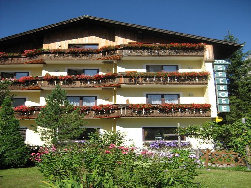
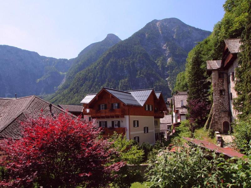
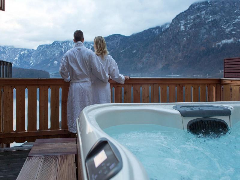
In a historic building from the 15th century in the centre of Hallstatt, Pension Simony offers panoramic views of Lake Hallstatt and the surrounding mountains. It provides free WiFi in public areas. The rustic-style rooms at Simony Pension feature wooden furniture and floors. Bathrooms are private or shared. The boat landing is a 2-minute walk away, and the Archaeological Museum can be reached in a 5-minute walk. The Dachstein Nord Ski Area is 5 km from the property, and Dachstein West is 10 km away. A free ski bus stops a 5-minute walk away.
- Wi-Fi
Facilities
Facilities
- Car park (extra charge)
- Check-in hour (13:00–18:00)
- Check-out hour (10:00)
- Wi-fi (extra charge)
Good to know
- Minimum check-in age (18)
Rooms
| Room type | Guests | Adults / children |
|---|---|---|
| Double room | up to 4 | 4 adults / 3 children |
| Quadruple room | up to 6 | 4 adults / 3 children |
| Single room | up to 1 | 1 adults |
| Triple room | up to 5 | 3 adults / 4 children |
Room types and occupancy come from the Hotelbeds catalogue and have not been confirmed by the hotel, so treat them as indicative. Ask the hotel for current rooms, bed layout and the number of guests.
Meals and key facts
Key facts
- Total number of rooms
- 16
Contact the hotel
Peldura is not a booking site and shows no live prices. Contact the hotel for current rates, bike storage, tourist tax and cancellation terms; the apricot weeks in July and the harvest in autumn fill first.
- Reservations +43 61348221
- Email [email protected]
- Website booking.com/hotel/at/pension-simony.html?aid=2086950
- Map Google Maps
Hotel data: Hotelbeds, updated 16/09/2026.
On the map
The map comes from Google Maps. Your browser connects to Google only after you click the button.