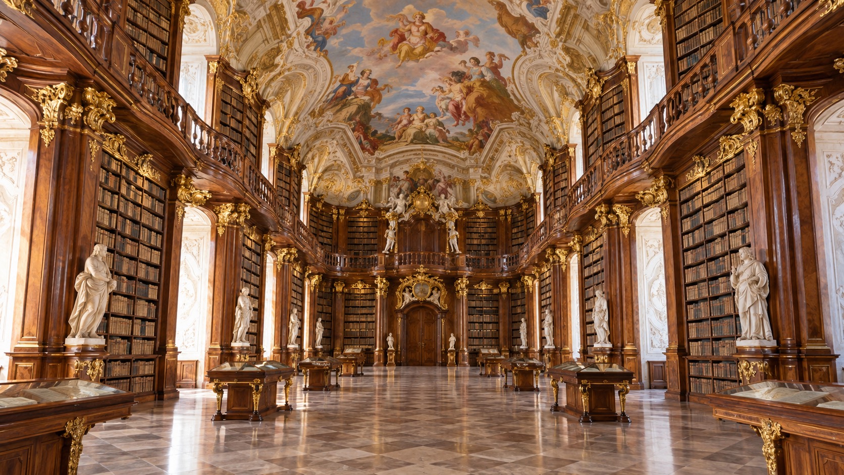
Melk Abbey
A working Benedictine monastery since 1089, rebuilt into the largest Baroque abbey complex in Austria between 1702 and 1736. The library alone is worth the climb up from the town.
Read the full historyThe Wachau stretch of the Danube Cycle Path runs from the Baroque terraces of Melk Abbey to the old town of Krems, mostly downhill, through vineyard villages that are easy to skip past on a tour bus and hard to skip past on a bike. This guide covers the real distances, the two riverbank choices, and what's actually worth stopping for.
Build today's schedule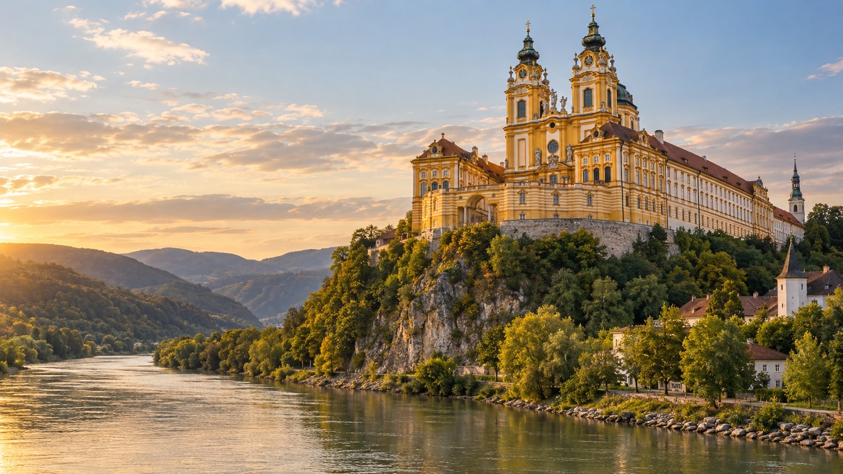
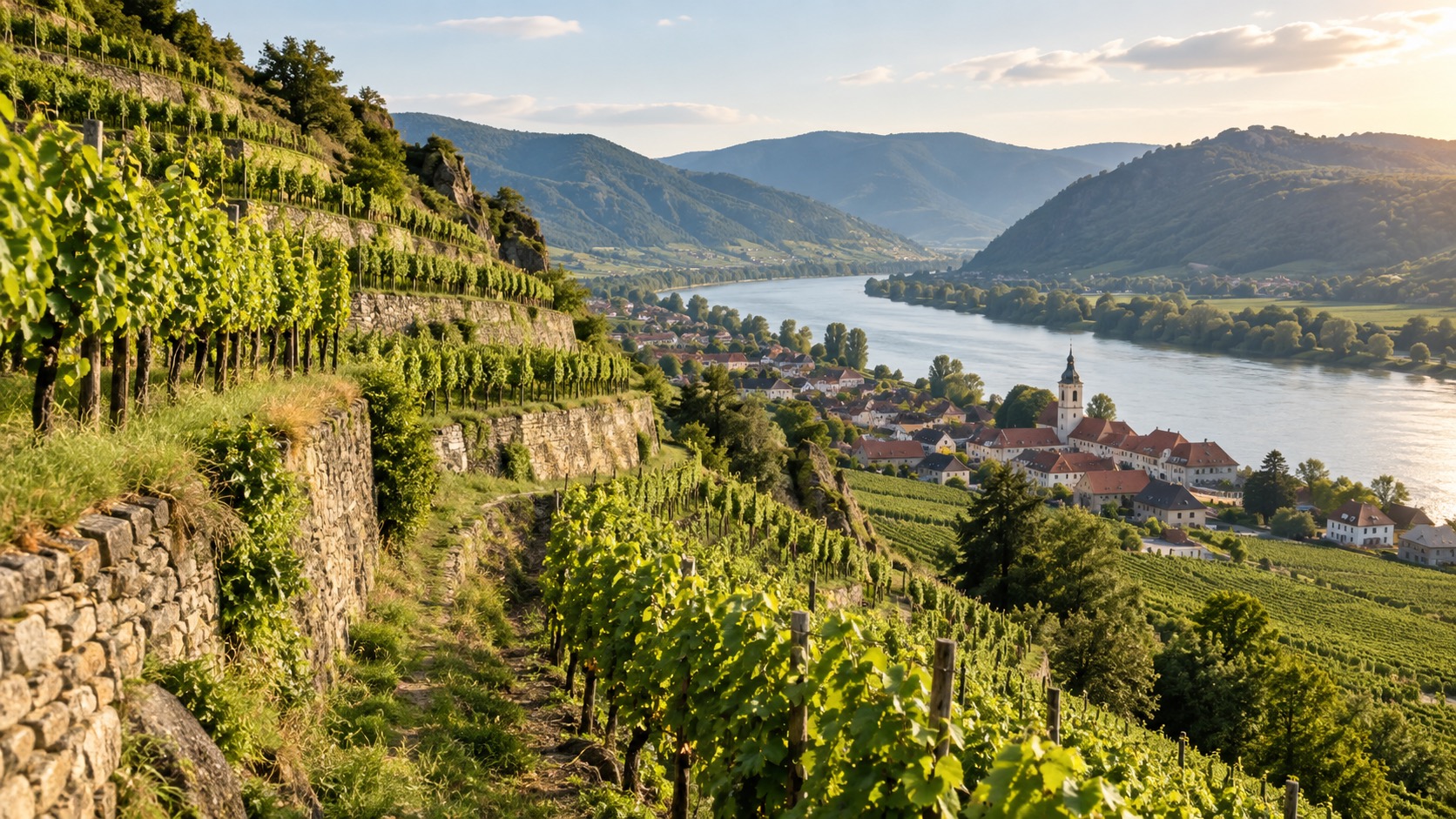
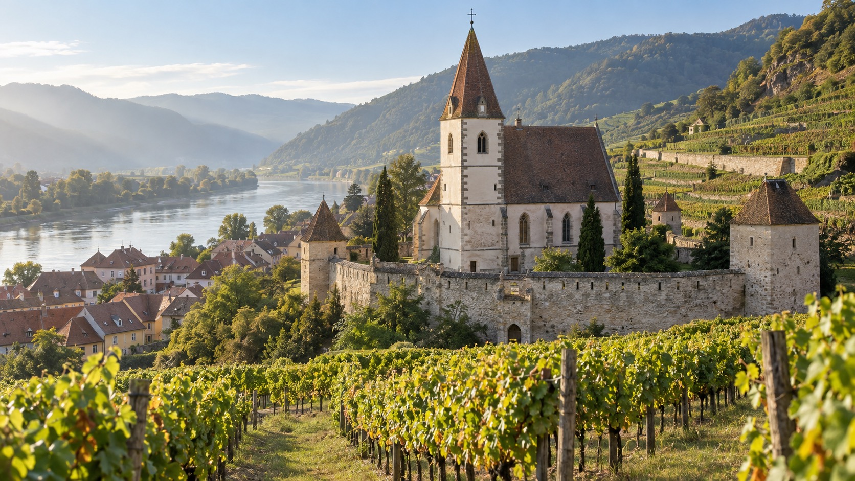
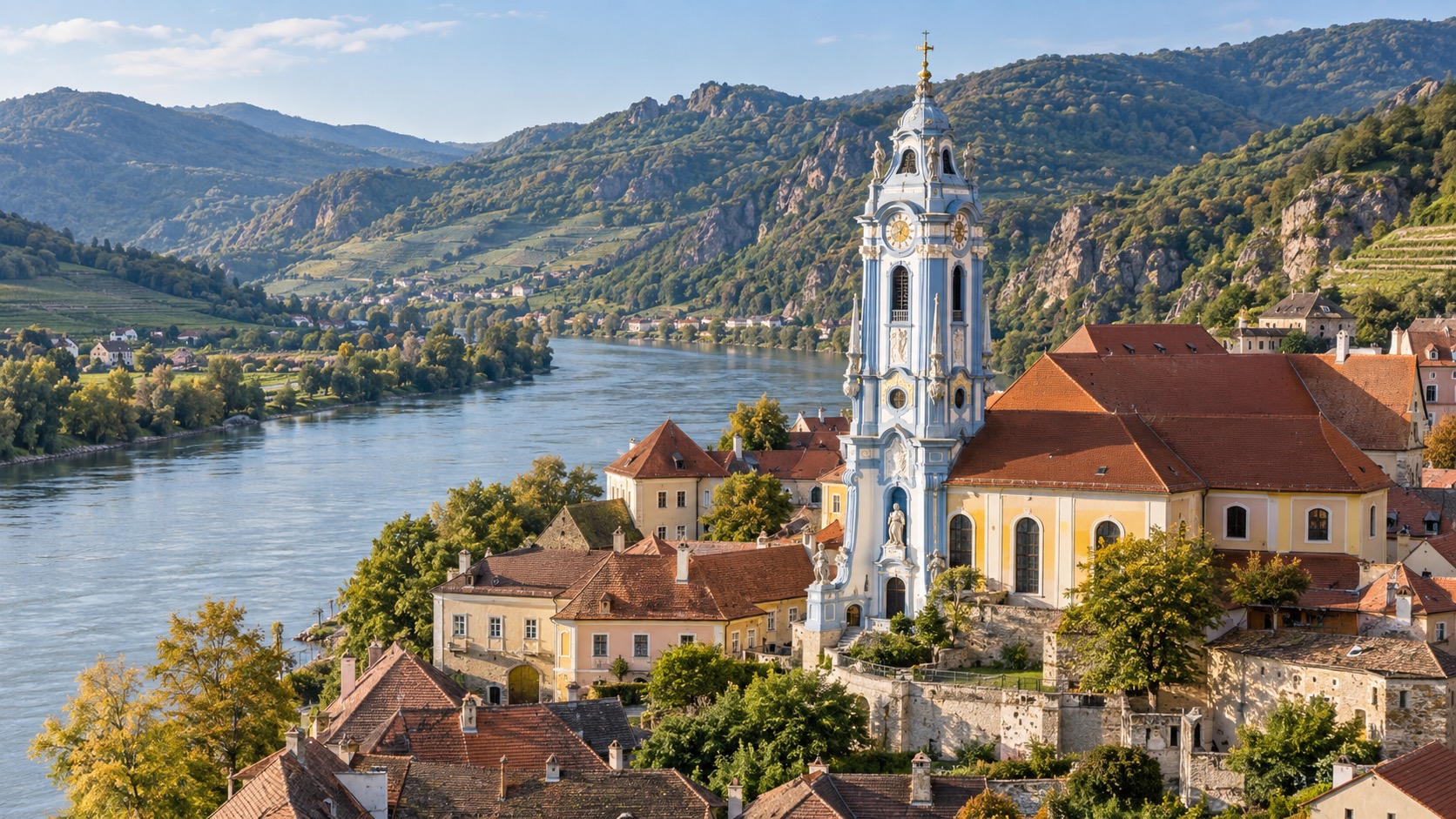
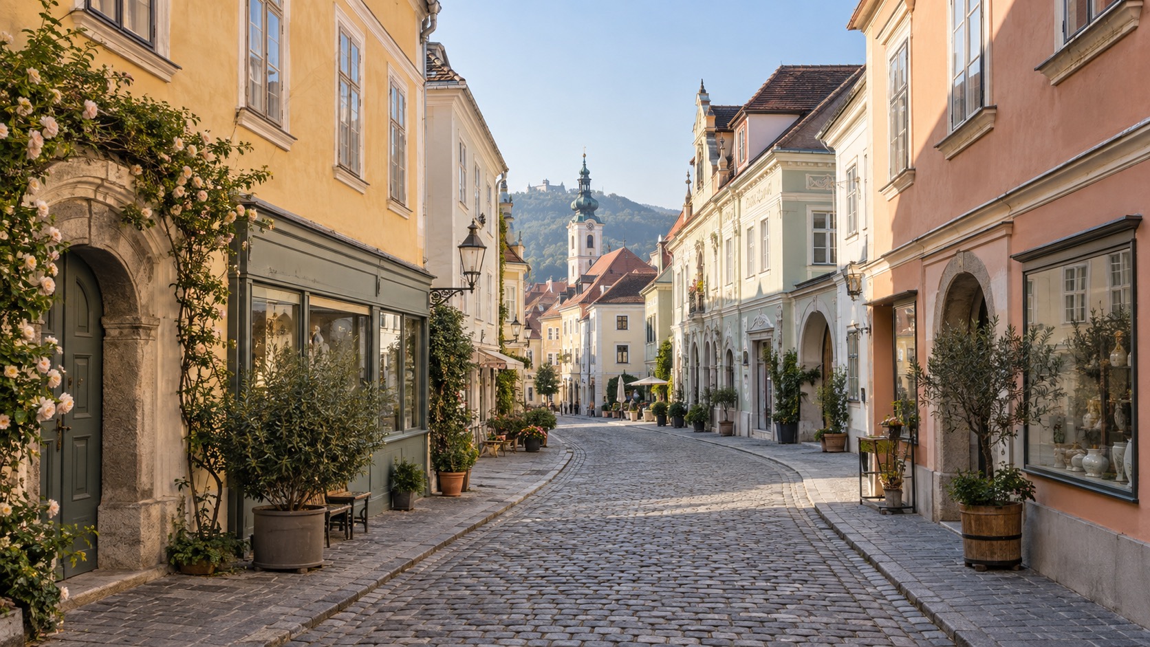
The Danube Cycle Path runs on both sides of the river through the Wachau, and the two banks are genuinely different rides, not just mirror images of each other.
The south bank has a continuous, dedicated, paved cycle path the whole way from Melk to Krems — no gaps, no shared roads, the easiest option if you want to just ride and not think about navigation. It passes below the vineyard slopes rather than through the village centres themselves.
The north bank is the one with the postcard stops: it runs through Spitz, Weissenkirchen, and Dürnstein directly, past the wine taverns and up to the fortified church squares. It's a mix of dedicated path and quieter village streets, and it's the side most people mean when they talk about "the" Wachau cycle route.
You don't have to commit to one bank for the whole 36 km. Passenger ferries (Fähren) cross the Danube at Spitz, Weissenkirchen, and Dürnstein, so a common pattern is riding the north bank out and switching to the faster south-bank path back, or the reverse if a headwind picks up in the afternoon — the Wachau's prevailing wind runs east–west along the valley, so it pays to check which way it's blowing before you pick a direction.
A working Benedictine monastery since 1089, rebuilt into the largest Baroque abbey complex in Austria between 1702 and 1736. The library alone is worth the climb up from the town.
Read the full history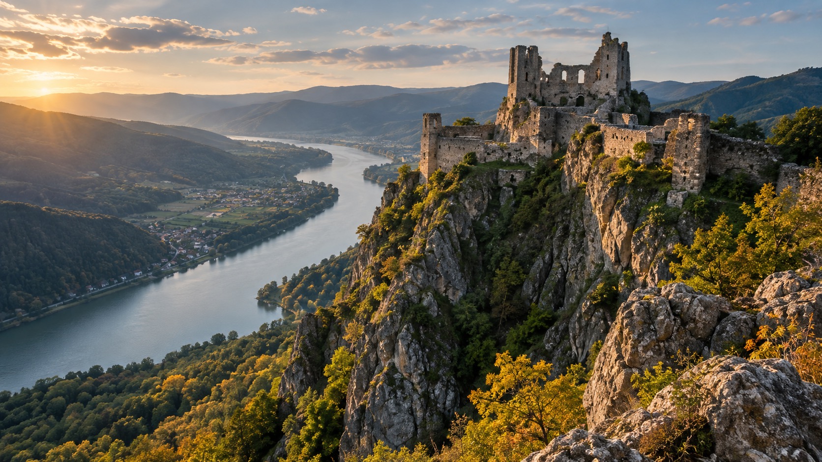
The hill fortress where Richard the Lionheart was held prisoner over the winter of 1192–93 — a 20–30 minute climb from the village for a ruin with the best view on the whole route.
Read the full history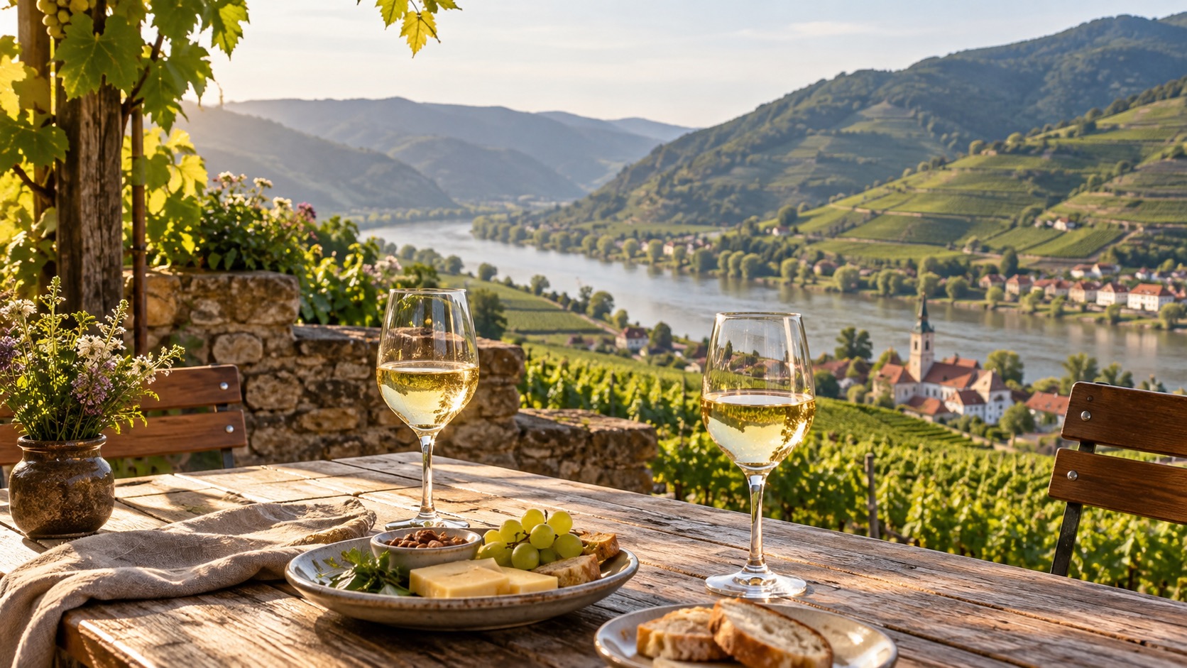
The Wachau's own three-tier classification tells you what's in the glass before you taste it — from light feather-grass Steinfeder to full-bodied Smaragd. Here's how to read it.
Read the wine guidePick a start time, a riding pace, and which stops you actually want to get off the bike for. This works out real arrival and departure clock times for each one, using each stop's typical visit length — not just a flat average speed.
| Stop | Arrive | Leave |
|---|
This schedule has you arriving in Krems after most Danube cycle-path ferries and rental-return desks close for the day — consider dropping a stop or moving your start time earlier.
This planner uses approximate segment distances and typical visit lengths, not live opening hours, ferry timetables, or traffic conditions — confirm current times locally, especially outside the main April–October season.
Melk, Dürnstein, and Krems get the postcards, but the ride between them is where the Wachau actually looks like the Wachau.