Home / Hotels / Styria / Schladming
Where it sits on the route
This hotel is 153 km from the nearest stop on the route (Melk), outside the Wachau, west of Melk; the pin sits at the end of the strip. Distances are straight-line; the Danube Cycle Path follows the river bends, so ride a little further than the map suggests.
About the place
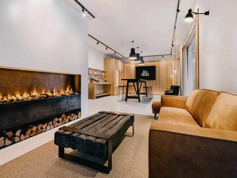
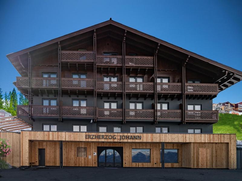
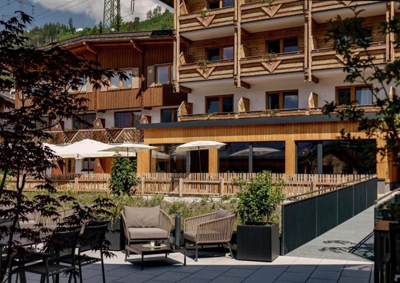
When you a stay at Panorama Lodge Schladming in Schladming, you'll be near ski lifts, just steps from Schladming Dachstein Ski Resort and Planai and Hochwurzen Ski Area. This ski aparthotel is 4. 8 mi (7. 7 km) from Reiteralm Ski Resort and 10. 9 mi (17. 6 km) from Dachstein Glacier. After a day on the slopes, enjoy recreational amenities, which include ski-in/ski-out access. Guests may use a roundtrip airport shuttle for a surcharge, and free self parking is available onsite. Treat yourself to a stay in one of the 23 guestrooms, featuring heated floors. Kitchens are outfitted with refrigerators, ovens, and stovetops. Complimentary wireless Internet access keeps you connected, and satellite programming is available for your entertainment. Conveniences include safes and desks, and housekeeping is provided daily.
- Wi-Fi
- Parking
- Ski access
Facilities
Facilities
- Car park
- Garage
- Wi-fi
- Airport Shuttle
- Hotel safe
- Terrace
Sports
- Archery
- Snowboarding
- Ski pass
Good to know
- Non-smoking establishment
Green programmes
- Austrian Ecolabel
Meals and key facts
Type of stay
Key facts
- Total number of rooms
- 23
Contact the hotel
Peldura is not a booking site and shows no live prices. Contact the hotel for current rates, bike storage, tourist tax and cancellation terms; the apricot weeks in July and the harvest in autumn fill first.
- Reservations +43 43368761610
- Map Google Maps
Hotel data: Hotelbeds, updated 22/09/2026.
On the map
The map comes from Google Maps. Your browser connects to Google only after you click the button.